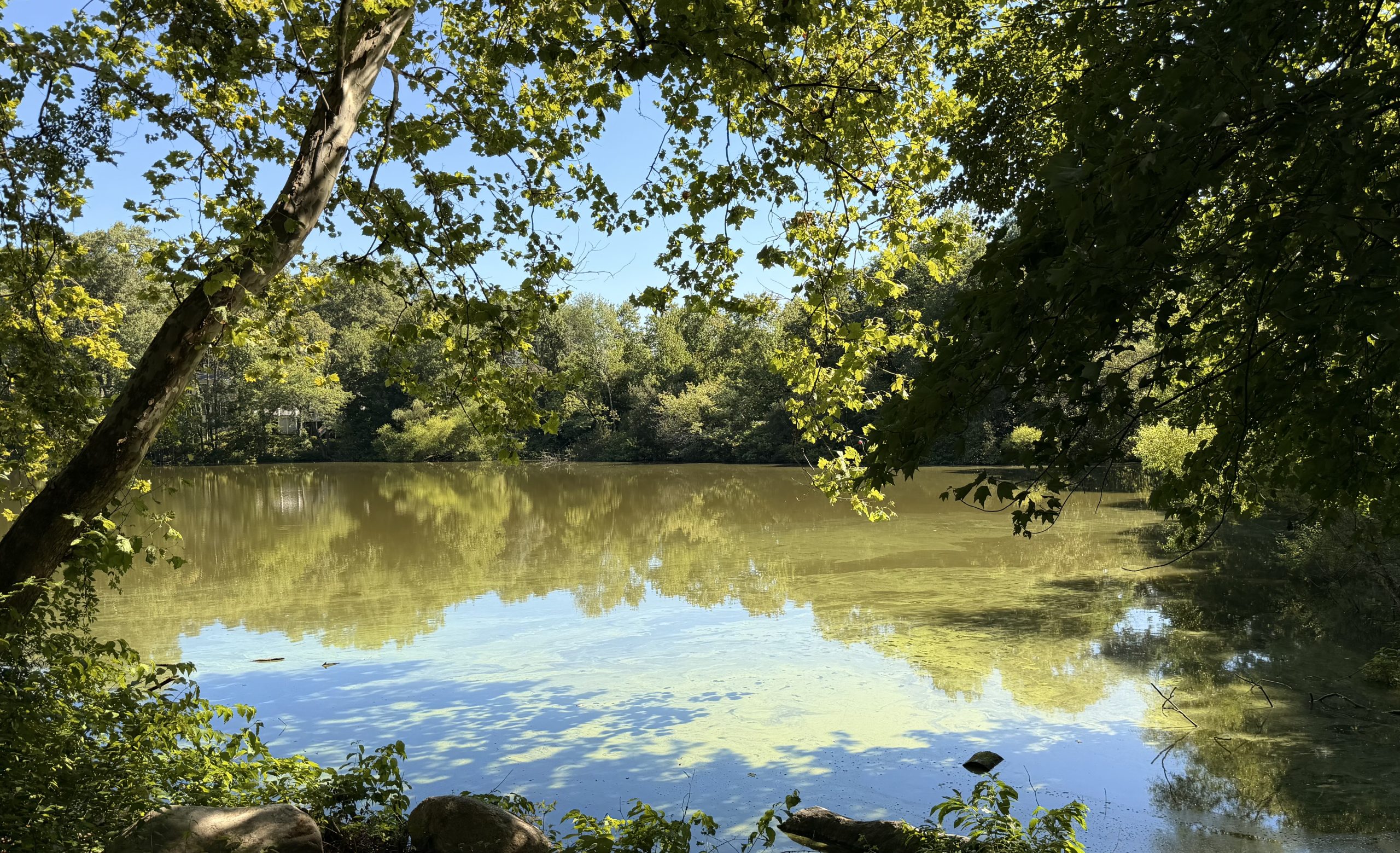

Technically it’s not an island, because a land mass has to be surrounded on all sides with water. So while the Norwalk River runs along the southern and western portion of the former grazing ground, the Metro North Train tracks hug the eastern border. And just over the train tracks lies the ONS (Orthopedic & Neurosurgery Specialist) complex and then Route 7, so essentially it is islandesque.
The Norwalk River truly meanders its way up to Great Pond in Ridgefield to the north. And of course, heading south it meanders then widens into the Norwalk Harbor emptying into the Long Island Sound. This will be the subject of an article just on navigating the Norwalk River one day, but for now, we can attribute everything that makes Schenck’s Island a beautiful river spot is because of the geologic history of the area.
The open meadow in the center is ringed by a one mile loop trail. Overall, there are around 17 acres of land, with the southern tip under the stewardship of the Wilton Land Trust. Parking is at the northern tip and accessed from River Road along a short road named Old Ridgefield Road located across from the entrance to Stop & Shop parking lot.
No better words describing the land can be written than that from “A Walker’s Guide to Schenck’s Island“:
Clearings made along the River provide excellent sites for fishing, picnicking or relaxing by the water’s edge. The eastern portion of the main loop trail passes through an upland area that is in a mid-successional stage. Red cedar, gray dogwood and grasses comprise the dominant vegetation. Big bluestem, Indian grass and little bluestem once grew profusely on the island, however succession and the establishment of non-native invasive species have reduced the extent of the grasses.
A Walker’s Guide to Schenck’s Island